
Verified
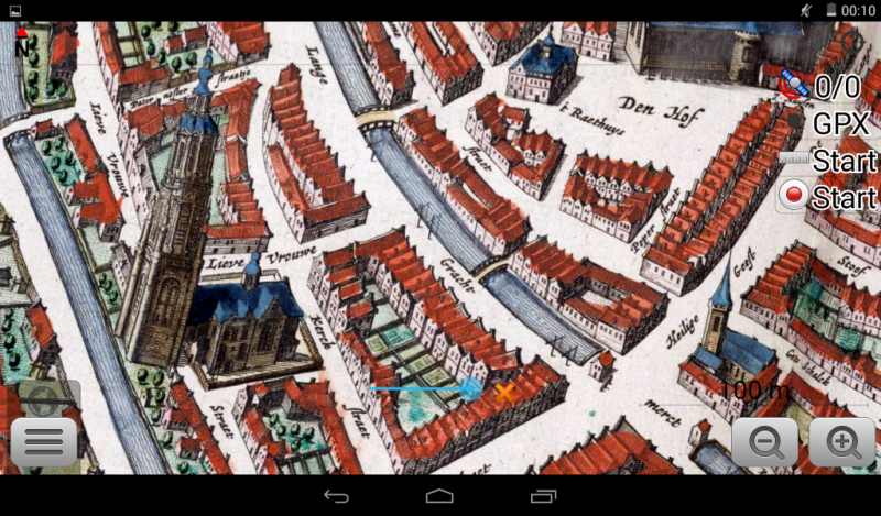
Amersfoort 1649
23:17 Jan 1 2015 Amersfoort, the Netherlands
Description
Amersfoort from "Blaeu's Toonneel der Steden"(Dutch city maps, Edited by Willem and Joan Blaeu), 1649.
Additional Data
| year: | 1649 |
| accuracy (m): | 12 |
| map size (Mb): | 200 |
| artist: | Joan Blaeu |
| publisher: | Joan Blaeu |
| wikipedia: | http://en.wikipedia.org/wiki/Amersfoort |
| image source: | BNE (Biblioteca Nacional de España) / Wikimedia |
| map download link 1: | Amersfoort-1649-jBlaeu.zip |
| map download link 2: | deze |
| Credibility: |  |
 |
0 |
Leave a Comment