
Verified
Delft 1850
04:26 Mar 17 2015 Delft, the Netherlands
Description
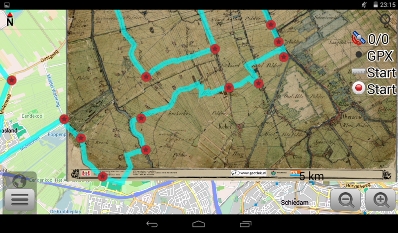
Delft 1850 Topografic Military map, scale 1 : 50.000This map is interesting as it gives a clear and colorfull representation of the landuse between the towns of Delft and Rotterdam in the middle 19th century. Just before the landscape was somewhat transformed in the petroleum age.
Interesting and fun for bicycle'd explorations between Delft and Rotterdam. Map includes some interesting gpx tracks from external sources, the user must activate them in the OsmAnd app settings in order to use them.
Additional Data
| year: | 1850 |
| accuracy (m): | 15 |
| map size (Mb): | 850 |
| artist: | J.F.A.Panhuijs |
| publisher: | Dutch Military |
| wikipedia: | http://www.arcgis.com/home/item.html?id=dde2f3bdf4b34ea3a4f04c859fbcefca |
| image source: | Wikimedia, Nationaal Archief |
| map download link 1: | www.geotiek.nl/media/Delft-1850-TopoMil.zip |
| map download link 2: |
| Credibility: |  |
 |
0 |
Leave a Comment