
Verified
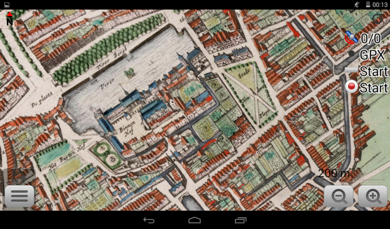
The Hague 1649
20:16 Feb 13 2015 The Hague, the Netherlands
Description
Colorfull map of early "the Hague" / sGravenhage / DenHaag, richly detailed and fairly precise, from the "Atlas Van Loon" one of the many versions of the famous Blaeu Atlasses.Additional Data
| year: | 1649 |
| accuracy (m): | 20 |
| map size (Mb): | 325 |
| artist: | Joan Blaeu |
| publisher: | Joan Blaeu |
| wikipedia: | http://en.wikipedia.org/wiki/Atlas_Van_Loon |
| image source: | Wikimedia |
| map download link 1: | DenHaag-1649-jBlaeu.zip |
| map download link 2: | deze |
| Credibility: |  |
 |
0 |
Leave a Comment