
Verified
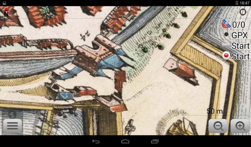
Zwolle 1649
21:27 Feb 27 2015 Zwolle, the Netherlands
Description
Zwolle 1649 map from Joan Blaeu's "Stedeboek" of North and Southern Netherlands towns. This map from Atlas van Loon.Additional Data
| year: | 1649 |
| accuracy (m): | 15 |
| map size (Mb): | 160 |
| artist: | Joan Blaeu |
| publisher: | Joan Blaeu |
| wikipedia: | http://en.wikipedia.org/wiki/Atlas_Van_Loon |
| image source: | Wikimedia |
| map download link 1: | www.geotiek.nl/media/Zwolle-1649-jBlaeu.zip |
| map download link 2: | deze |
| Credibility: |  |
 |
0 |
Leave a Comment