
Verified
Nördlingen 1651
21:32 Jan 1 2015 Nördlingen, Germany
Description
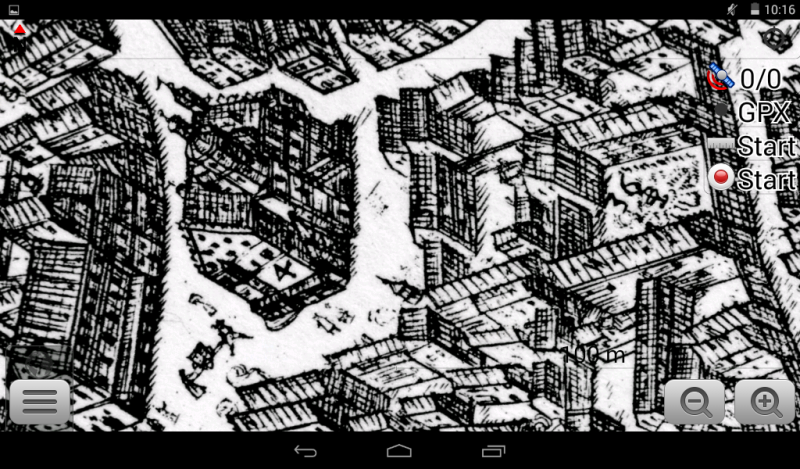
Historical map of Nördlingen (near Ulm) from 1651 by Andreas Zeidler"DELINEATIO VERA IMPERIALIS CIVITATIS AD ARAS FLAVIAS SIVE Nördlingen ANNO MDCLI"
The 1651 engraving of the free imperial city of Nördlingen in bird's-eye view is a high quality sample of the "Veduta" print by the Nördlinger city architect Andreas Zeidler.
The city wall is here retained in its most perfect form, despite that three years after the Thirty Years' Wars end, it may still be damaged by various scrapes and breaches.
The cityscapes perspective from the bird's eye view gives the clearest hitherto overview of both, the overall layout as well as the level of a single building of the city and its quality of representation is unmatched untill the arrival of modern airial photography.
Nördlingen is a town in the Donau-Ries district, in Bavaria, Germany, with a population of approximately 24,000. It was first mentioned in recorded history in 898, and in 1998 the town celebrated its 1100th anniversary. The town was the location of two battles during the Thirty Years' War, which took place between 1618 - 1648. Today it is one of only three towns in Germany that still has a completely established city wall, the other two being Rothenburg ob der Tauber and Dinkelsbühl.
Another attraction in the town is the Saint Georg's Church's 90 m steeple, called "Daniel", which is made of a suevite impact breccia that contains shocked quartz. Other notable buildings are the town hall (which dates to the 13th century), St. Salvator church and the Spital, a former medieval hospital. The Ries crater museum is located in the well-preserved medieval tanner's quarter.
The city is home to several other museums, such as the Bavarian Railway Museum, the Nördlingen city museum (Stadtmuseum), the city wall museum (Stadtmauermuseum) and Augenblick museum with panoramas, magic lanterns, silent films, barrel organs, pianolas, music boxes and gramophones.
Nördlingen is also known for the Scharlachrennen, a horse riding tournament that was first mentioned in 1463.
Additional Data
| year: | 1651 |
| accuracy (m): | 15 |
| map size (Mb): | 100 |
| artist: | Andreas Zeidler |
| publisher: | Andreas Zeidler |
| wikipedia: | http://en.wikipedia.org/wiki/N%C3%B6rdlingen |
| image source: | Wikimedia |
| map download link 1: | G-Nordlingen-1651-aZeidler.zip |
| map download link 2: |
| Credibility: |  |
 |
0 |
Leave a Comment