
Verified
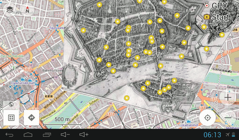
Frankfurt am Main 1628
23:11 Jan 1 2015 Frankfurt am Main, Germany
Description
This is a fantastic map, with many fine details that largely matches well with todays streetplan.Frankfurt was severely bombed in World War II (1939 - 1945) and the once famous medieval city centre, by that time the largest in Germany, was almost completely destroyed. It became a ground battlefield when the Allied advance into Germany was forced to take the city in contested urban combat that included a river assault. The social and Cultural loss is immense, photo's of the destruction can be seen online.
Frankfurt is thought to be established in the 1st century as a Roman settlement and became one of the most important cities in the following Holy Roman Empire. From 855 the German kings and emperors were elected in Frankfurt and crowned in Aachen. In 1372 Frankfurt became a Reichsstadt (Imperial Free City), which means; a directly subordinate to the Holy Roman Emperor and not to a regional ruler or a local nobleman. Frankfurt managed to remain neutral during the Thirty Years' War, but suffered from the bubonic plague that was brought to the city by refugees. After the end of the war, Frankfurt regained its wealth.
In the Napoleonic Wars Frankfurt was occupied and bombarded several times by French troops.
After the ill-fated revolution of 1848, Frankfurt was the seat of the first democratically elected German parliament. The institution failed in 1849 when the Prussian king declared that he would not accept "a crown from the gutter". In the year of its existence, the assembly developed a common constitution for a unified Germany, with the Prussian king as its monarch.
The Frankfurter Messe (Frankfurt Trade Fair) was first mentioned in 1150. In 1240, Emperor Friedrich II granted an Imperial privilege to its visitors, meaning they would be protected by the Empire. Book trade fairs have been held in Frankfurt since 1478. In 1585 Frankfurt traders established a system of exchange rates for the various currencies that were circulating in the city to prevent cheating and extortion. Thus lay the early roots for the Frankfurt Stock Exchange.
Matthäus Merian the Elder (1593 - 1650) was born to the patrician Basel Merian family. He learned the art of copperplate engraving in Zürich after which he worked and studied in Strasbourg, Nancy, and Paris. In 1616 he settled to Frankfurt, Germany where he worked for the publisher Johann Theodor de Bry, who was the son of renowned engraver and traveler Theodor de Bry. In 1617, Merian married Maria Magdalena de Bry, daughter of the publisher, and was for a time associated with the de Bry publishing house. In 1623 Merian took over the publishing house of his father-in-law after de Bry's death. In 1626 he became a citizen of Frankfurt and could henceforth work as an independent publisher. He spent most of his working life in Frankfurt. Early in his life, he had created detailed town plans in his unique style, e.g. a plan of Basel (1615) and a plan of Paris (1615), later (circa 1640) with his son, Matthäus Merian (Junior) he produced a series of Topographia. That grew into the 21-volume atlas known as the "Topographia Germaniae".
Additional Data
| year: | 1628 |
| accuracy (m): | 50 |
| map size (Mb): | 200 |
| artist: | Matthäus Merian the Elder |
| publisher: | Matthäus Merian the Elder |
| wikipedia: | http://en.wikipedia.org/wiki/Frankfurt |
| image source: | Wikimedia, Historical museum, Frankfurt am Main, Germany |
| map download link 1: | www.geotiek.nl/media/d-FrankfurtamMain-1628-mMerian.zip">deze |
| map download link 2: |
| Credibility: |  |
 |
0 |
Leave a Comment