
Verified
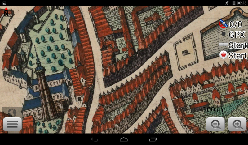
Middelburg 1649
22:17 Jan 1 2015 Middelburg, the Netherlands
Description
Another fine colorfull map from Joan Blaeu's Stedeboek Atlas van Loon.Middelburg has been an important trading centre since the Middle Ages in the commerce between England and the rising cities of Flanders. Later, in the 17th century (the Dutch Golden Age), Middelburg became, after Amsterdam, the most important center for the United East India Company (VOC) and the West Indies Company (WIC) of the Republic of the Seven United Netherlands Territories.
The city was very rich in historical monuments until WWII, when about a third of the old city centre was bombed and incinerated (including the city's archives).
After the War, much was rebuilt and restored but not completely along the original streetplan - therefore this map doesn't match well.
Additional Data
| year: | 1649 |
| accuracy (m): | 30 |
| map size (Mb): | 425 |
| artist: | Joan Blaeu |
| publisher: | Joan Blaeu |
| wikipedia: | http://en.wikipedia.org/wiki/Middelburg |
| image source: | Wikimedia |
| map download link 1: | Middelburg-1649-jBlaeu.zip |
| map download link 2: | deze |
| Credibility: |  |
 |
0 |
Leave a Comment